GeoImage Survey
| Business Avenue - Building, Office #807 - Sheikh Rashid Rd - Dubai - United Arab Emirates | |
 |
Dubai |
| +971507980211 | |
| http://www.geoimagedubai.com |
About GeoImage Survey
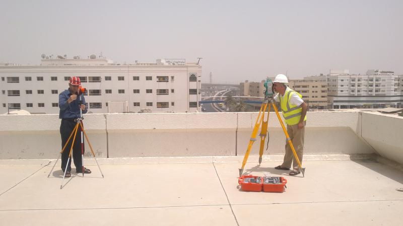
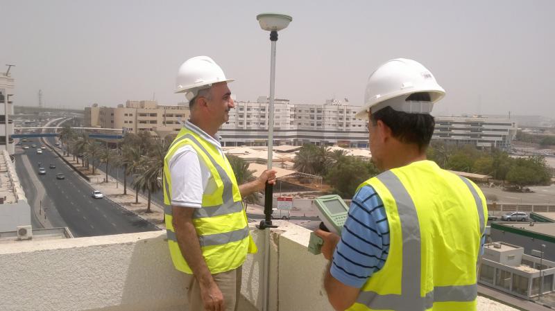
A geospatial survey company typically specializes in collecting, analyzing, and interpreting geospatial data for various industries and applications. Geospatial surveys involve the use of advanced technologies and techniques to gather spatial information about the Earth's surface and its features. This data is then processed, analyzed, and presented in a format that is useful for decision-making and planning purposes. Utilizing aerial platforms such as drones, aircraft, or satellites to capture high-resolution imagery, LiDAR data, or other remote sensing data for mapping, land monitoring, or environmental assessments.


.jpg)